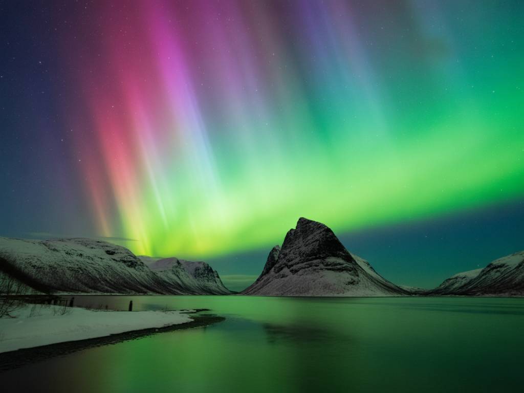
It’s 16:30, you’re scrolling, and suddenly the aurora forecast goes crazy: KP 6, solar wind over 600 km/s, clear skies tonight over your region. You live far from the Arctic Circle, but the maps say your latitude might get a show. You’ve got a car, a free evening, and a strong case of FOMO.
Now what?
This is exactly the kind of situation I build forecasts for: a high auroral alert, a short time window, and people based in “normal” cities wondering if it’s worth jumping in the car. In this guide, I’ll walk you through how to plan a last-minute northern lights road trip from your city, step by step, without losing an hour in apps and acronyms.
Step 1: Read the spike correctly (KP, Bz, and reality)
When you see “KP 6 tonight!” shared everywhere, your first job is to verify and translate that into something actionable for your location.
Focus on three key elements:
- KP index: Global geomagnetic activity, usually from 0 to 9. The higher the KP, the further south the auroral oval can be visible.
- Bz (IMF direction): Measures how the solar wind’s magnetic field is oriented. For strong auroras, you want Bz to be negative (southward) and ideally stable for several hours.
- Solar wind speed & density: High speed (over ~500 km/s) and decent density support stronger displays.
Here’s how to turn that into a simple decision rule from your city:
- If you’re around 50–55°N (e.g. northern USA, central Europe, southern Canada): Start driving if:
- Forecast KP ≥ 6 for at least 2–3 hours
- Bz is negative (ideally < -5 nT and stable)
- Solar wind speed > 500 km/s
- If you’re around 45–50°N (e.g. France, Germany, northern US states like Oregon/Illinois, southern Canada): Consider it if:
- Forecast KP ≥ 7
- Bz negative, solar wind still elevated
Ask yourself two quick questions:
- Is the spike sustainable? A single peak at KP 7 for 15 minutes is not worth a 3-hour drive. Look for several hours of elevated activity.
- Is it happening at night where I am? KP can be huge at 13:00 local time and useless for you. Check the timing vs. your night window.
Once the data looks solid and the spike overlaps your night hours, move on to the more important factor for a road trip: clouds.
Step 2: Check clouds before anything else
Clouds are the real trip killers, not the KP index. For a last-minute road trip, your main weather work is finding large areas of clear or mostly clear sky within driving range.
Here’s the order I use:
- Satellite imagery (infrared at night): Shows where big cloud systems are, where gaps are opening, and in which direction they’re moving.
- Hourly cloud cover forecasts: Use at least two different models or apps so you’re not relying on a single guess.
- Local forecasts along your possible routes: Check cities/towns within a 2–4 hour radius in different directions.
Look for patterns, not perfection:
- A wide, clear sector (e.g. a whole region with 0–30% clouds) is ideal. Aim for the middle of it, not the edge.
- A “broken clouds” zone (30–60% cover) can still work if you’re flexible and ready to move 30–50 km to chase gaps.
- If everything within 2–3 hours is > 80% cloud cover, think twice before committing to a long night on the road.
At this stage, pick one primary direction (north is a bonus, but not mandatory) where cloud conditions are best within your realistic driving radius.
Step 3: Define a realistic travel radius and time budget
Last-minute northern lights chases fail most often because people are too optimistic about distance and fatigue.
Before you open Google Maps, decide:
- How many hours can you actually drive tonight and still be safe? (There and back.)
- What time do you need to be back home (work, kids, commitments) no matter how good it gets?
As a rule of thumb for a single-night sprint:
- If you work the next day: aim for max 2 hours one-way.
- If you can sleep in or it’s a weekend: maybe 3–3.5 hours one-way, but only if you have a second driver.
Now translate that into a simple frame, for example:
- Leave city: 19:30
- Arrival in target area: 21:30
- Observation window: 21:30–01:30
- Back home: 03:30
This time frame will help you cut options that are technically “in range” on a map but unrealistic in real life. It also reduces stress: you know in advance what your “go home” time is, even if the sky explodes at 02:00.
Step 4: Choose your target area, not just a single spot
In a last-minute chase, you’re not booking a lodge in the Arctic; you’re selecting a flexible zone as your playing field for the night.
Your target area should satisfy four criteria:
- Reduced light pollution: Away from big cities, but not in total wilderness if you’re inexperienced.
- Road access: Several paved or good-condition roads running roughly east-west and north-south, so you can move with cloud gaps.
- Multiple potential viewpoints: Fields, lakes, hilltops, or coastal stretches with low horizons to the north.
- Mobile coverage: Ideally, so you can update forecasts and maps.
A practical approach from a mid-latitude city:
- Draw a circle on a map with radius = your max one-way driving distance.
- Overlay a light pollution map: remove the brightest areas (major cities, dense corridors).
- Overlay the cloud forecast and choose the sector where clear skies and lower light pollution overlap.
Don’t obsess over finding “the” perfect viewing spot right now. What you need is a zone of opportunity where you can try 3–5 different places within a 20–40 km range once you’re there.
Step 5: Pre-select 3–5 concrete stopping points
This is where my cartography habit kicks in. You don’t want to be driving at night, under time pressure, trying random farm roads. Spend 20–30 minutes now to pre-select realistic, legal, and safe spots.
Use satellite view and street view (where available) to locate:
- Public parking areas with an open northern horizon:
- Viewpoints or official “scenic” pullouts
- Parking near lakes, rivers, or open fields
- Small rural parking lots (cemeteries, sports fields, boat ramps) – respect local rules and noise
- Minor elevated points:
- Low hills with roads on top or near the crest
- Ridge roads with views to the north
For each potential spot, check:
- Is there legal parking where I’m not blocking traffic or gates?
- Is there a clear view to the north, not just trees or buildings?
- Is the access road maintained and safe at night?
Save each point in your navigation app with a clear name, for example:
- “Field parking – north view – Plan A”
- “Lake shore – dark sky – Plan B”
- “Hilltop lay-by – backup spot”
On a real aurora night last spring in central Europe, my “rescue” spot ended up being a completely anonymous farm road on a gentle hill, 10 minutes from the highway. No tourist label, no viewpoint sign. But I had checked the satellite image, saw the open fields and parking space, and it saved the night when clouds covered my original target.
Step 6: Prepare your gear fast, but smart
You don’t need Arctic expedition equipment for a one-night road trip, but you do need three things: warmth, visibility, and basic camera readiness.
Prioritize this list:
- Clothing:
- Base layer (thermal or just non-cotton if possible)
- Mid layer (fleece or wool)
- Insulated jacket + windproof shell if you have one
- Hat, gloves, warm socks, and proper shoes/boots
- Safety & comfort:
- Full fuel tank (or enough for your radius + margin)
- Headlamp or flashlight (ideally with a red mode)
- Blanket or sleeping bag in the car
- Water + simple snacks (nuts, sandwiches, thermos)
- Phone charger + power bank
- Photography (optional but recommended):
- Camera with manual mode
- Sturdy tripod
- Wide lens (f/2.8–f/4 if possible), 10–24 mm range on APS-C or full-frame
- Spare battery (cold kills them faster)
For camera settings at mid-latitudes during strong storms, use a simple starting recipe:
- Mode: Manual
- Aperture: f/2.8 to f/4
- ISO: 1600–3200
- Shutter: 5–10 seconds
- Focus: manual, set to infinity and fine-tuned using a bright star
Don’t lose an hour searching for the perfect lens if the KP is already rising. It’s better to be on site with a basic kit than stuck at home selecting gear.
Step 7: Drive with a flexible route and decision points
Once you’re on the road, your job changes from planning to managing uncertainty. You have three moving targets: auroral activity, clouds, and your own fatigue.
Use these rules to keep control of your night:
- Pre-define decision points:
- Example: “At 21:30, if cloud cover still looks heavy ahead, I switch from Plan A (north) to Plan B (northwest).”
- This avoids endless “maybe if I continue 30 more km” loops.
- Update forecasts at gas stations or rest areas:
- Check cloud maps and short-term aurora forecasts every 60–90 minutes.
- Look for trends rather than individual model outputs.
- Respect your return time:
- Set a non-negotiable limit (for example, “start driving home at 01:30”).
- Even a memorable aurora is not worth driving dangerously tired.
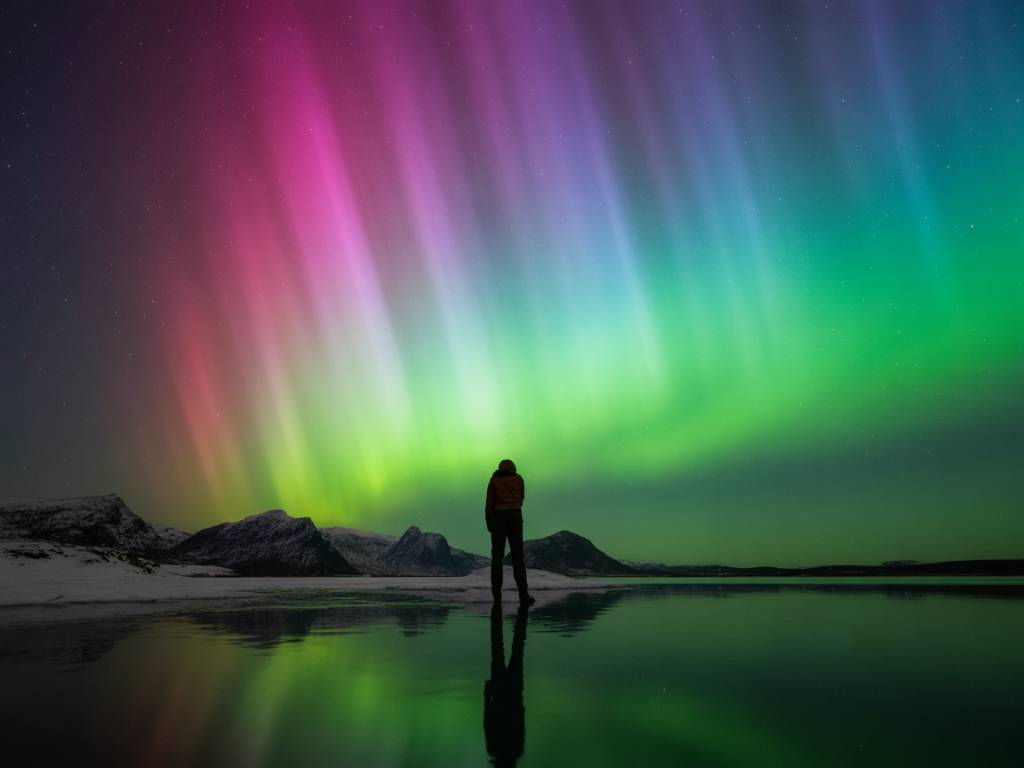
On good nights, you’ll often see faint activity on the horizon well before the official “peak”. If you arrive in your target area and the sky is clear to the north, stop early at your first decent spot and give your eyes at least 15–20 minutes to adapt.
Step 8: Reading the sky once you’re on site
A common mistake at mid-latitudes is to think “there is nothing” when there is actually a dim auroral arc low on the horizon that the camera will pick up easily.
Here’s what to look for:
- Low, greyish band in the north:
- To the naked eye it can look like a dull, slightly brighter patch or faint arch.
- Use a test shot with your camera (e.g. ISO 3200, 8 seconds) to reveal green or magenta tones.
- Slow changes over 10–20 minutes:
- Even if the lights are weak, structure will change: the band moves, breaks into segments, or intensifies.
- Sudden brightening:
- If the band suddenly grows upwards, shows “curtains” or rays and becomes clearly visible, you’re in a substorm phase. This is when you stop checking your phone and watch the sky.
Don’t stare only at the zenith. At mid-latitudes, most of your show will be between the horizon and ~30° altitude in the northern sky. If the storm is really strong, you may see structures overhead, but that’s a bonus, not the baseline.
Step 9: Manage expectations and call the night when it’s time
Not every road trip will deliver multicolour curtains. Sometimes you’ll “only” see a faint arc and capture the real colours on your camera. That’s still a win, especially far from the Arctic.
To keep the night enjoyable instead of stressful:
- Decide what would make the trip “worth it”:
- Seeing a visible arc with the naked eye?
- Getting one or two decent photos?
- Just experiencing a dark sky and stars if the aurora fails?
- Accept that conditions can change fast:
- Clouds can arrive earlier than forecast.
- Geomagnetic activity can drop suddenly.
- You can still learn a lot for the next event: which spots are accessible, where the horizons are open, how your gear behaves in the cold.
- Stick to your return plan:
- When your planned “go home” time arrives, take one last look north, maybe one last photo, and then commit to the drive back.
The more you do this, the less each single night feels like a “now or never”. You’ll build a mental map of usable locations around your city, which makes future last-minute decisions much easier.
Step 10: Turn the experience into a reusable playbook
Once you’re back, don’t just dump your photos and sleep. Spend 10 minutes capturing what worked and what didn’t while it’s still fresh.
Useful notes to keep for the next spike:
- Driving times vs. map estimates:
- Did traffic, road quality, or weather add extra time?
- Each spot you tried:
- Was the horizon really open?
- Any light pollution sources you didn’t expect?
- Parking comfort and safety level?
- Weather vs. forecast:
- Which model was the closest to reality for cloud cover?
- Your own limits:
- Did the total timeline feel sustainable?
- Would you reduce your driving radius next time?
After two or three of these impromptu chases, you’ll have your own “local atlas” of northern lights spots around your city, plus a routine that you can run almost automatically:
- Alert: forecast spike
- Quick check: KP + Bz + timing
- Cloud scan and direction choice
- Predefined radius and time budget
- Saved map with tested viewing spots
- Standard gear bag ready in a cupboard
The aurora is, by nature, unpredictable. But your response to a sudden forecast spike doesn’t have to be. With a bit of preparation and a clear process, a last-minute road trip from your city can switch from “chaotic gamble” to “calculated attempt with acceptable risks and good odds of a memory”.
Next time the KP index goes wild on your phone, you’ll know exactly what to do: check the data, pick your sector, grab your gear, and go see what the sky has to offer.